
See your territory. Know your reality.
We turn places, land, infrastructure and hard-to-reach areas into usable geospatial data for planning, monitoring and response.
See the ground before you plan.
Read terrain, inspect access and connect assets to their location.
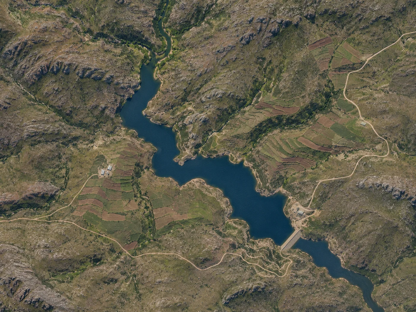 Highland catchment · Concept view
The data nodes at a glance
GIS mapping and spatial analysis
Layered geospatial models combining boundaries, networks, terrain and operational datasets into queryable maps.
Aerial data capture and site monitoring
Structured aerial survey workflows and repeat site monitoring where flight clearances and operating conditions permit.
Cartography and demography
Clear map production combining spatial features with population and administrative context for planning teams.
Terrain, asset and infrastructure mapping
Mapping physical corridors, boundaries, roads, utilities and built assets across dispersed or hard-to-reach terrain.
Agricultural and environmental monitoring
Spatial observation that may include land-use change, crop boundary tracking and environmental condition monitoring.
Geospatial inputs for planning, risk and emergency response
Structured terrain and access intelligence that can support hazard assessment, route planning and response coordination.
Start with the data problem you need to solve.
Tell us what information you have, what is missing, and what decision you need to make.